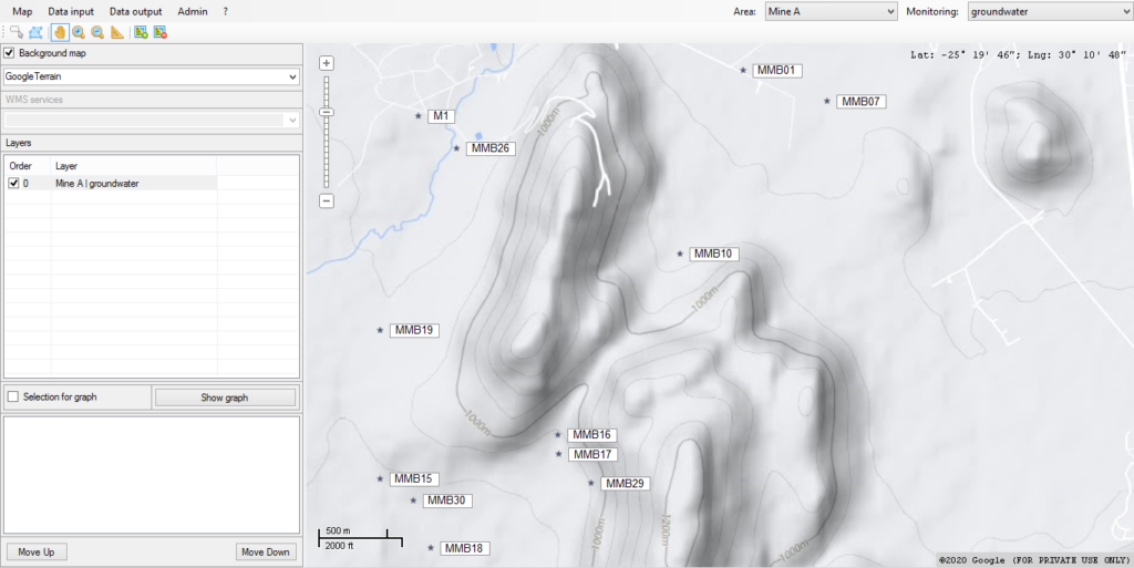
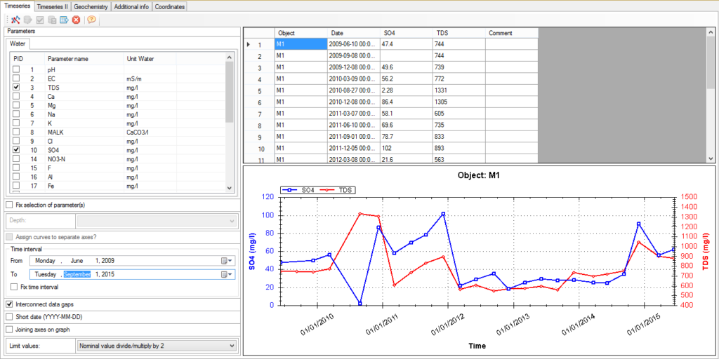
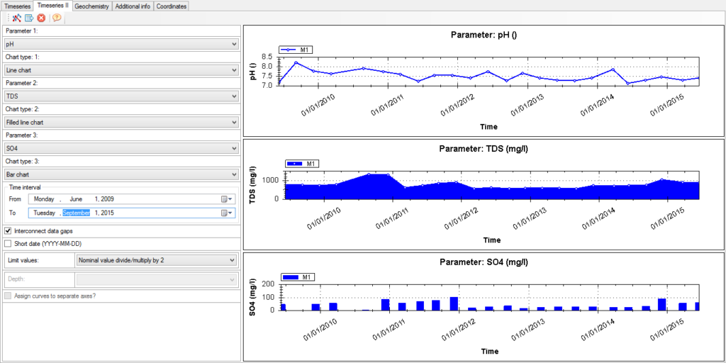
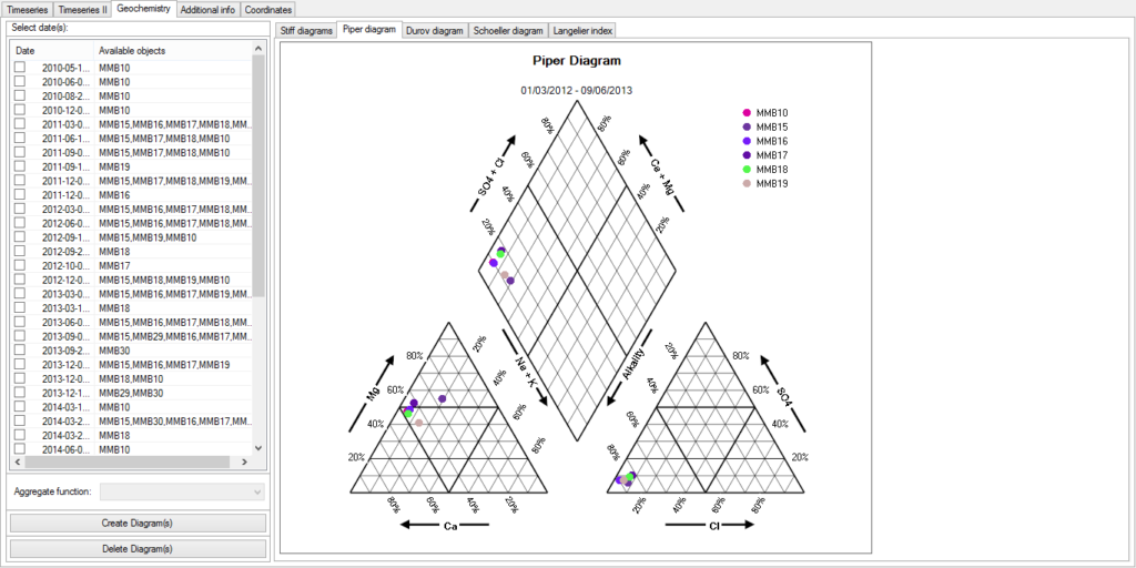
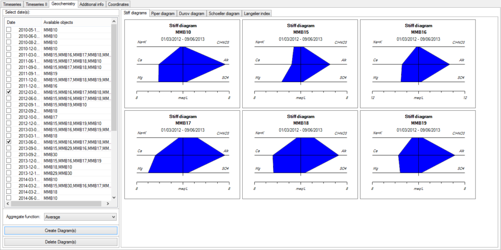
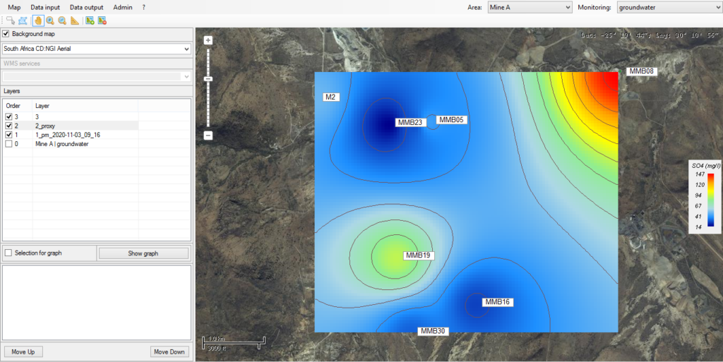
We create a dedicated project on eSymon for a client into which we upload GIS mapping data for the site/s (including monitoring points, site DXFs, mine layouts, infrastructure etc.) as well as the historical data for the site/s (geotechnical, water quality, water levels, dust, biomonitoring, air quality etc.);